
Geophysical survey
Keywords:
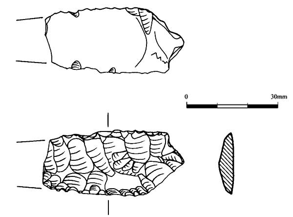
Geophysical Radar Survey, Geophysical Survey Capo Long Barrow, Long Barrow, MoundAbstract
Capo long barrow is covered with tree stumps and bracken so was considered unsuitable for a geophysical radar survey. A detailed account of the method of resistivity imaging is provided. A total of 48 profile views were taken along with plan views. Profiles taken to the east of the long barrow in front of the presumed entrance and over the low mound proved to be inconclusive.Downloads
Download data is not yet available.
Downloads
Published
01-01-2003
Issue
Section
Sections
How to Cite
“Geophysical Survey”. 2003. Scottish Historical and Archaeological Internet Reports 6 (January): 8-14. https://journals.socantscot.org/index.php/sair/article/view/466.
