
Our publications
Vol. 15 (2005): Early land-use and landscape development in Arisaig
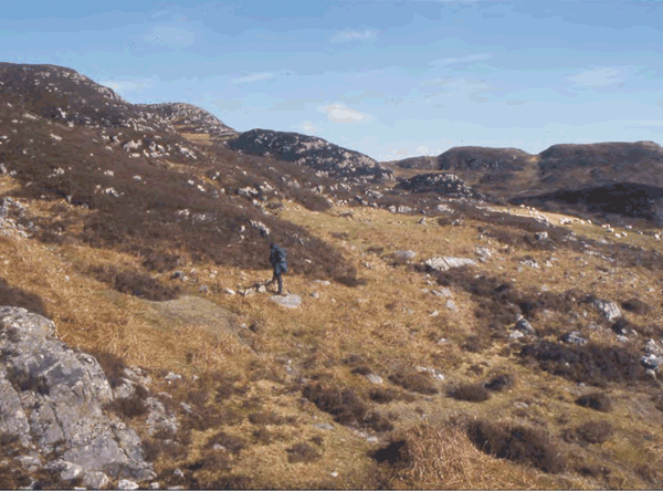
Early land-use and landscape development in Arisaig
Contributor: Caroline Wickham-Jones
Summary: Re-alignment of a 6km section of the A830 road in Arisaig (NGR: NM 6714 9054) provided an opportunity to investigate the archaeology of this poorly understood area of the West Highlands. A combination of archaeological and palaeoenvironmental techniques were used to investigate the road corridor. Archaeological survey, followed up by selected excavations, identified a previously unrecorded Bronze Age kerb cairn and two areas of shieling huts. Investigation of the shielings obtained evidence for repeated reuse of sites and reconstruction of structures through the medieval and post-medieval periods. In both cases, Bronze Age deposits were also recorded at the base of the medieval sequence. Analysis of a long peat core from a basin close to one of the shielings revealed a history of continuous but gradual decline in woodland, starting in about 3200 BC and continuing to the present day. Collation of archaeological and palaeoenvironmental data from the present project and previous investigations in the area have allowed the creation of a tentative model of landscape evolution for Arisaig.
Keywords: Basin, Kerb Cairn, Palaeoenvironmental Data
Periods: Medieval, Bronze Age
Location: Highland, Scotland, UK
Published:
01-01-2005
