
Barabhas Machair
surveys of an eroding sandscape
DOI:
https://doi.org/10.9750/issn.2056-7421.2018.76.1-89Keywords:
Lithic Scatter, Archaeological Landscape, Croft, Cemetery, Wall, BeakerAbstract
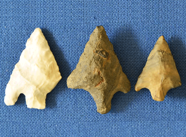
The townships of Barabhas are on the west coast of the Isle of Lewis, in the Outer Hebrides between the blanket bog of Barabhas Moor to the east, and machair and the Atlantic Ocean to the west. The Barabhas Machair (centre NGR: NB 351 513) has been eroding for at least a century, and of archaeological interest for nearly as long. Survey and excavations over the last 40 years have revealed settlements from the Early Bronze Age to the present day, in a landscape that has been used and reused.
Downloads
Download data is not yet available.
Downloads
Published
01-01-2018
Issue
Section
Full issue
Categories
License
Copyright (c) 2018 Mary A MacLeod Rivett and the individual contributors

This work is licensed under a Creative Commons Attribution-NonCommercial 4.0 International License.
How to Cite
“Barabhas Machair: Surveys of an Eroding Sandscape”. 2018. Scottish Archaeological Internet Reports 76 (January): 1-89. https://doi.org/10.9750/issn.2056-7421.2018.76.1-89.

